As every mariner knows, to truly discover the character of Maine and her people one must approach them from the water. Christopher Little
At one time, according to maritime superstition, it was believed that having a woman on board your boat angered the seas and that she was an omen of bad luck for everyone. This past week we had a 50-50 ratio of men to women and our group actually was “in search of angry seas”–namely tide races, surf, and swell.
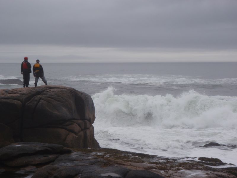
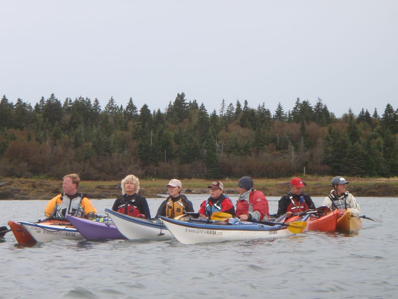
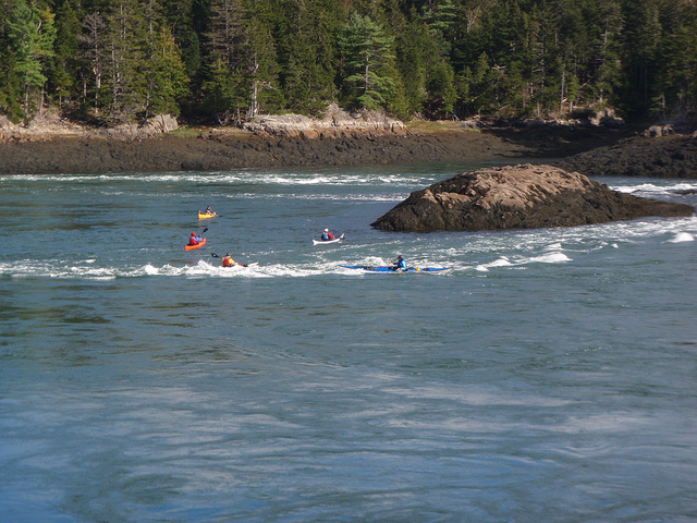
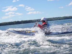
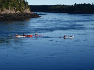
Level 4 sea kayak training in Coastal Maine (above).
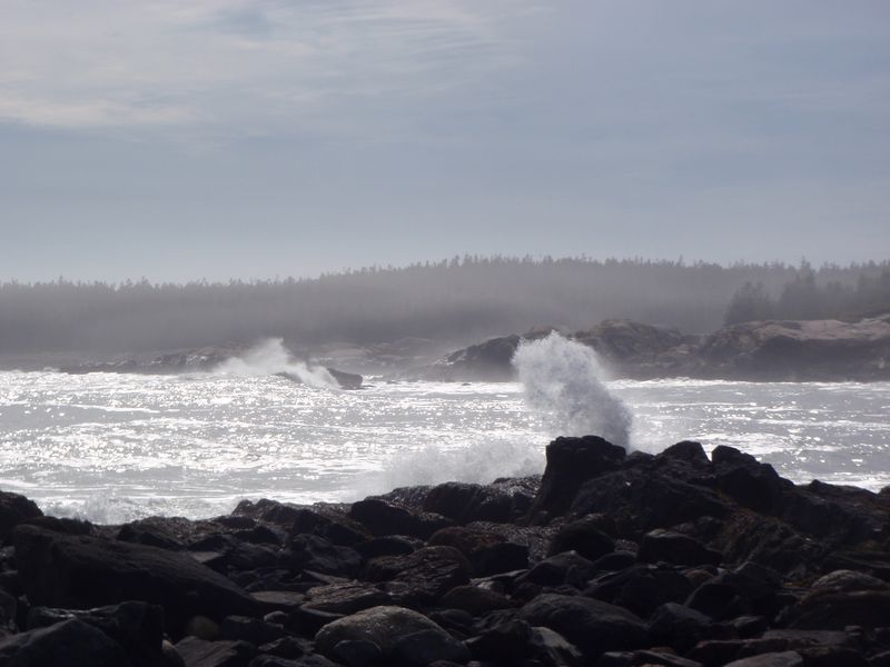
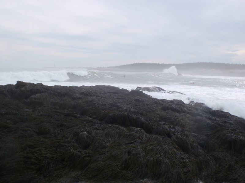
Throughout our week we worked on surfing, boat handling, play boating, navigation, seamanship, and rescues. Waves picked up to 12′ before everyone stopped surfing for the day.
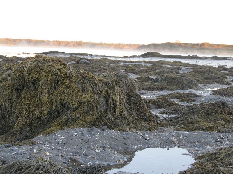
Jonesport is a 12-mile peninsula that is drained by the Indian River. Tides here average 18′. I enjoyed watching the birds that morning sampling all of the newly exposed delicacies. Jonesport’s many uninhabited islands are nesting areas for eider, cormorants, seagulls, razorbills, guillemots, loons, black scoters, grebes and eagles.
Where are we? If you do not use your knowledge of navigation regularly you cannot rely on it. Good piloting and dead reckoning means being constantly aware of your approximate position and then finding ways to check and clarify that position.
Maine mariners are known the world over for their navigation skills. With the added moisture from the Atlantic Ocean, the weather is known to change quickly. There are an average of 59 foggy days every year at Quoddy Head Light near Lubec.
We did not encounter fog during our week but we planned for it. “Pea soup” is said to make for a good test of dead reckoning skills. Although we checked the buoys for tide direction, in a fog navigating is done from buoy to buoy and close attention to your compass course and distance made good. You can listen to the toll of the buoys, the irregular dissonance of the 4 noted bong buoys, and the whistle buoys. One of these sounds would lead you to your next point.
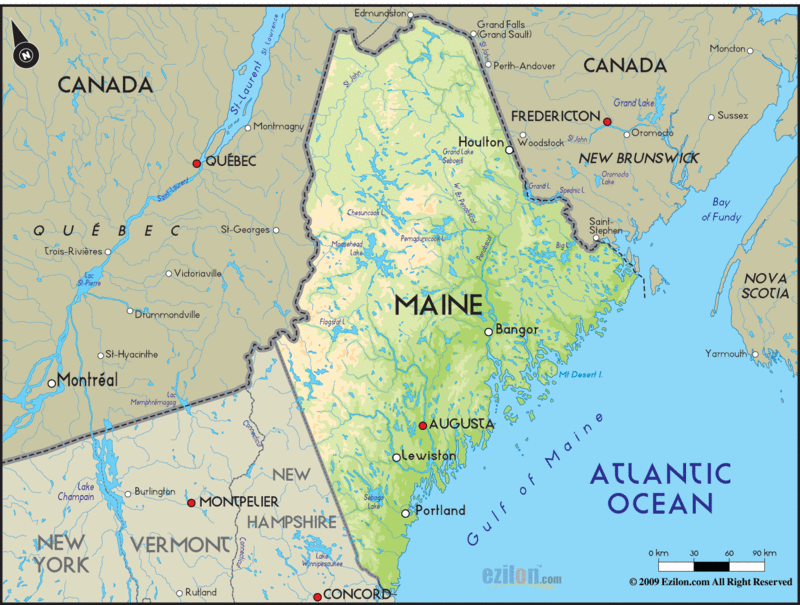
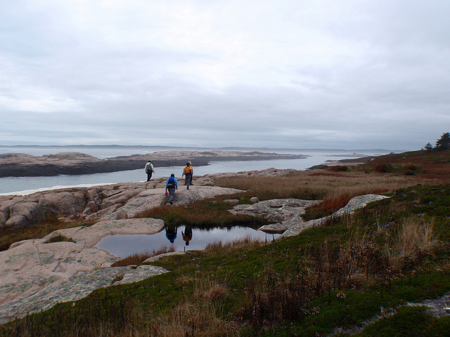
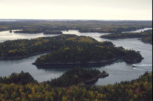
The coastline of Maine contains some 1,700 islands. Geologists call this area a “drowned coast.” The original coastline being only 250 miles is now irregular and indented and over 2,500 miles.
Christopher Little explains, in his book The Rockbound Coast, as he describes the voluptuous grassy bluffs of Maine: “Most of the green clad islands you can see from here are remnants of the resistant granite roots of long gone mountains.”
The effects of the ocean can significantly moderate the weather on the islands and for a few miles inland, depending on the direction of the wind. The water on the coast is part of an upwelling of the Labrador Current that has its origin under the polar ice cap. The air or wind passing over the coastal waters is cooled and humidified before it arrives ashore.
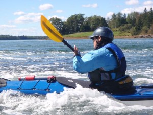
Erin setting up to peel out at the Reversing Falls of Cobscook Bay.
When water pours through a narrow channel, round a headland or over a shallow ledge of rock, it may create a tide race.
According to the Hydrographic Dictionary and Bowditch, a tide race is a strong tidal current or a channel in which such a current flows.
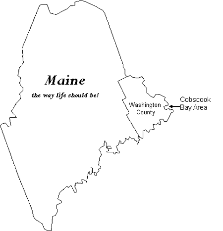
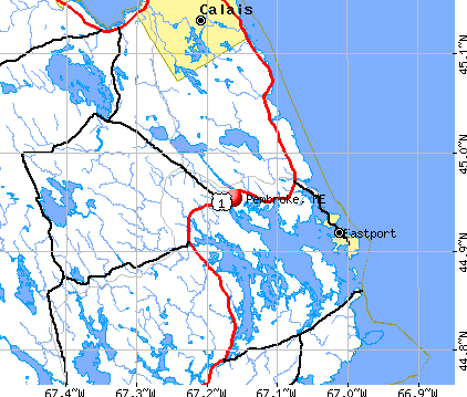
Cobscook Bay is a semi-enclosed sea that extends almost 200 miles. It’s highly convoluted shorelines, intense tidal currents, and cold waters all contribute to the area’s diverse marine habitats. It is part of the Bay of Fundy and is located between Falls Island and Mahar Point in Pembroke, Maine.
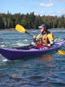
Emily making the most of the flood tide.
Ben Ellison described his adventure on Cobscook Bay in Maine: Boats, Homes & Harbors, “Well, it turns out that high water and even ‘slack’ low are both fairly hellacious in the narrows around and aptly named Falls Island, and all time periods between look fit only for whitewater kayakers. While the depths are reasonable and the charts amazingly accurate, the upwellings, whirlpools, and whatnot, to say the least, are challenging…. We exited a more sinuous and raucous northern route…That was when an entire family leapt instantly from “basking-on-smooth-warm-ledge’ mode to ‘look-at-the-crazies-shoot-the-rapids’ full attention as we passed by.”
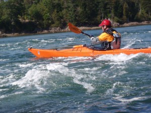
Anne Margaret ferrying across Reversing Falls. Our group used the on-lookers on the boulders and cliffs for a point of reference as we ferried across this incredible area.
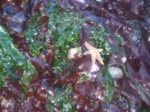
As the tide reversed and began to ebb, we began to spot starfish in the seaweed and sand dollars on the sea floor.
Slack tide. While loading our boats at the end of the day, one car stopped by and rolled down their window to sincerely thank us. They really enjoyed watching us play in the rapids.

