By Mary Fairchild
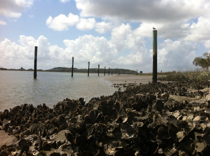
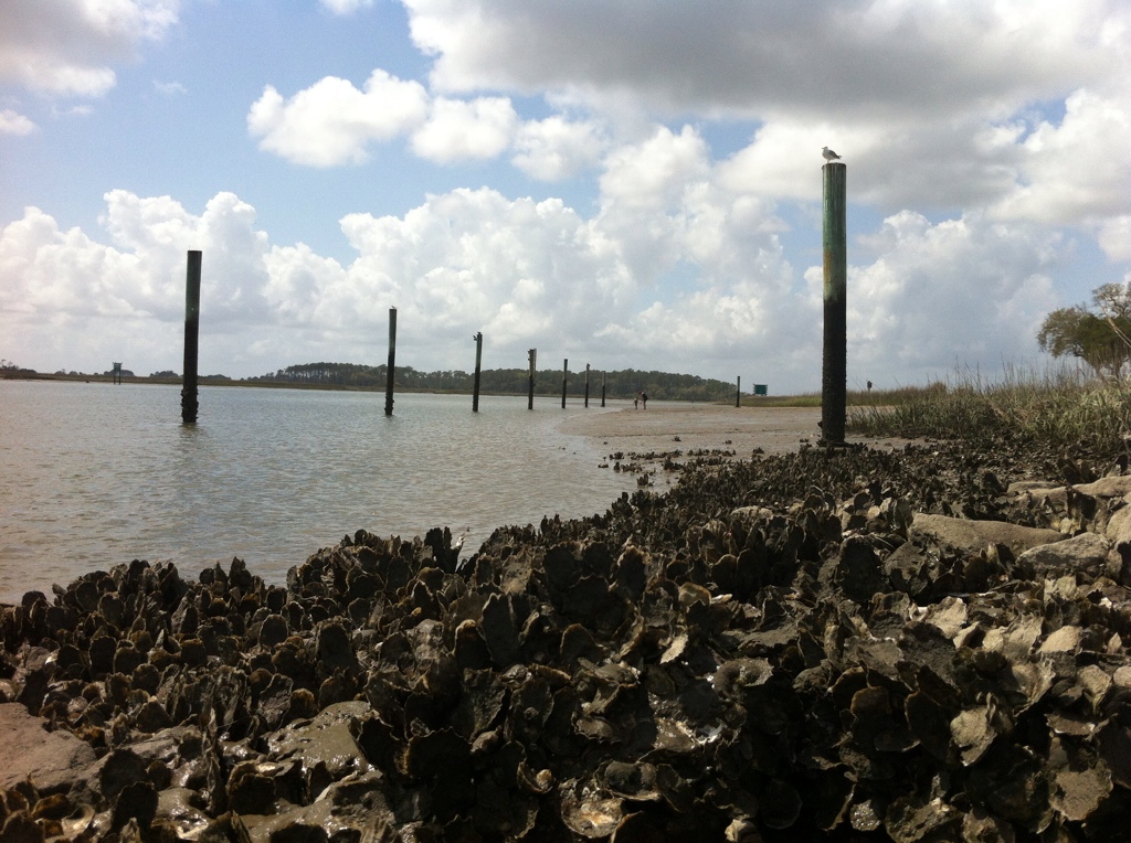
(Razor sharp clusters of oysters exposed during low tide at Skidaway Narrows across from Skidaway Island State Park.)
Once a narrow, shallow tidal creek, Skidaway Narrows is now dredged and is part of the Atlantic Intracoastal Waterway which stretches from Virginia to Florida and on the Gulf side all the way around to Texas.
Over the years, Georgia’s oyster fishery has greatly declined due to pollution and the introduction of minimum wage laws. In the early 1900s, Georgia produced more oysters commercially than any other state. Before the minimum wage laws went into effect, oyster pickers were paid by the number of oysters picked; with the new law, the incentive to harvest great numbers of oysters greatly decreased. Today it is rare to find Georgia oysters offered on the menu in coastal restaurants, and usually the oysters are brought in from Florida, Texas, or Louisiana.
Kayaking Coastal Georgia has opened my eyes to the fact that there is so much that we do not know about the delicate ecological balance that needs to be maintained and how intertwined we are with it. Georgia was among the first states in the nation to pass legislation protecting its tidal marshlands, which are the most extensive and productive of any on the East Coast–yet it still confronts many challenges.
Three ceremonial shell rings, dating back to 1750 B.C., have been found on Skidaway Island. There have been fewer than 20 of them discovered and all but one are in the southeastern United States, the other is in Ecuador. 56 ancient Timucua Indian sites have been found on the island. The Timucua were targets of mission activities by the Spanish in the 1630s, and became extinct by the 1760s from European plagues and English-sponsored slaving. Also found on the island are fossil mastodons, mammoths, giant sloths, and native horses, which became extinct.
Shell midden (rings or heaps) are refuse piles consisting mostly of oyster shells which are found throughout the world on coastlines, major rivers, and tidewater flats indicating the favorite localities where Indians subsisted upon oysters, clams, conches, fishes, and animals and birds native to the region. Investigation of these sites is important for understanding how cultures change and for determining the future of such environments.
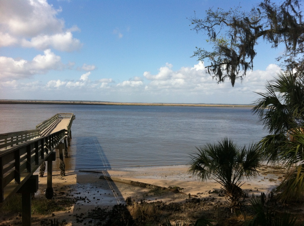 (Fort McAllister is south of Savannah on the Ogeechee River.)
Available online, the Georgia Coast Saltwater Paddle Trial 2010 is designed to provide paddlers with a preliminary planning document for paddling trips on the Georgia Coast. The regional outfitters that provided valuable input for this guide include Up the Creek Expeditions, Southeast Adventure, Ocean Motion Surf Co., Altamaha Coastal Tours, Coffee Bluff Marina, Savannah Canoe and Kayak, and Sea Kayak Georgia.
“We use our paddling adventures as a tool to educate and inform others on our dynamic marine environment. No trip to Savannah is complete until you’ve experienced the unique culture and natural beauty of the Georgia Coast!” Kristin and Nigel Law of Savannah Canoe & Kayak
In July of 1968, Kerr-McGee Corporation submitted a bid to lease 25,000 acres of Georgia’s offshore land for phosphate mining. They also planned to use dredge from the mining operation to fill and develop 20 square miles of “high grounds” on Little Tybee and Cabbage Islands. At that time, filling was driven by the dominant cultural worldview which had its roots in the industrial era. Today, our ecological worldview has reclaimed our respect for tidal wetlands as a life supporting resource.
At the University of Alabama, T. Fred T. Andrus, Dept. of Geological Sciences, has had long standing collaborative projects in the Georgia Bight investigating Midden Geoarchaeology. His goal is to assess past human subsistence strategies, season of occupation and resource use, site formation processes, and other questions relating to archaeology. The shell rings of Georgia are the best indicator that complex hunter-gatherers were present on the coast during the Late Archaic.
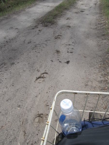 (Following feral hog hoof prints through R.J. Reynolds Wildlife Refuge.)
I rented a bike to ride out to see the ancient shell rings on Sapelo island. Archeologists have found pottery shards on the island that date back 4,500 years, making them some of the oldest artifacts ever found in North America. In 1969, the widow of tobacco millionaire R.J. Reynolds sold 8,240 acres of the island to the state, which became the R.J. Reynolds (Sapelo Island) Wildlife Refuge.
“The truth is, nearly every island on the Georgia coast, … having been considerably altered by humans over the past 4,500 years, whether these were Native Americans, Europeans, or Americans….. denoted by the loss of original habitats and native species or the addition of non-native species….Perhaps the most charismatic yet problematic of non-native animals on any of the Georgia barrier islands are the wild horses of Cumberland Island. These horses are the source of much controversy, which becomes even more apparent whenever anyone tries to apply some actual science to them…” T. Martin
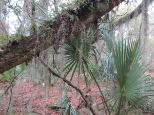 (RJ Reynolds Wildlife Management Area, maritime forest , Sapelo Island, GA.)
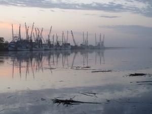 (Darien, shrimp boats at sunrise on the Darien River.)
The town of Darien lies just north of the Altamaha River’s mouth. Several miles to the south lies the larger city of Brunswick. St. Simons Island lies on the south side of the Altamaha estuary.
The estuary of the Altamaha River, where fresh and salt water mix, is about 26 square miles in size, one of the largest intact, relatively non-degraded estuary on the Atlantic coast and most of it is easily visited by canoe or kayak year round. Altamaha River Bioreserve is the Nature Conservancy’s protection of the rich biodiversity of the largest undammed river on the Southeast Coast. Included in the BioReserve is the River, tidal freshwater, brackish and saltwater eco-systems.
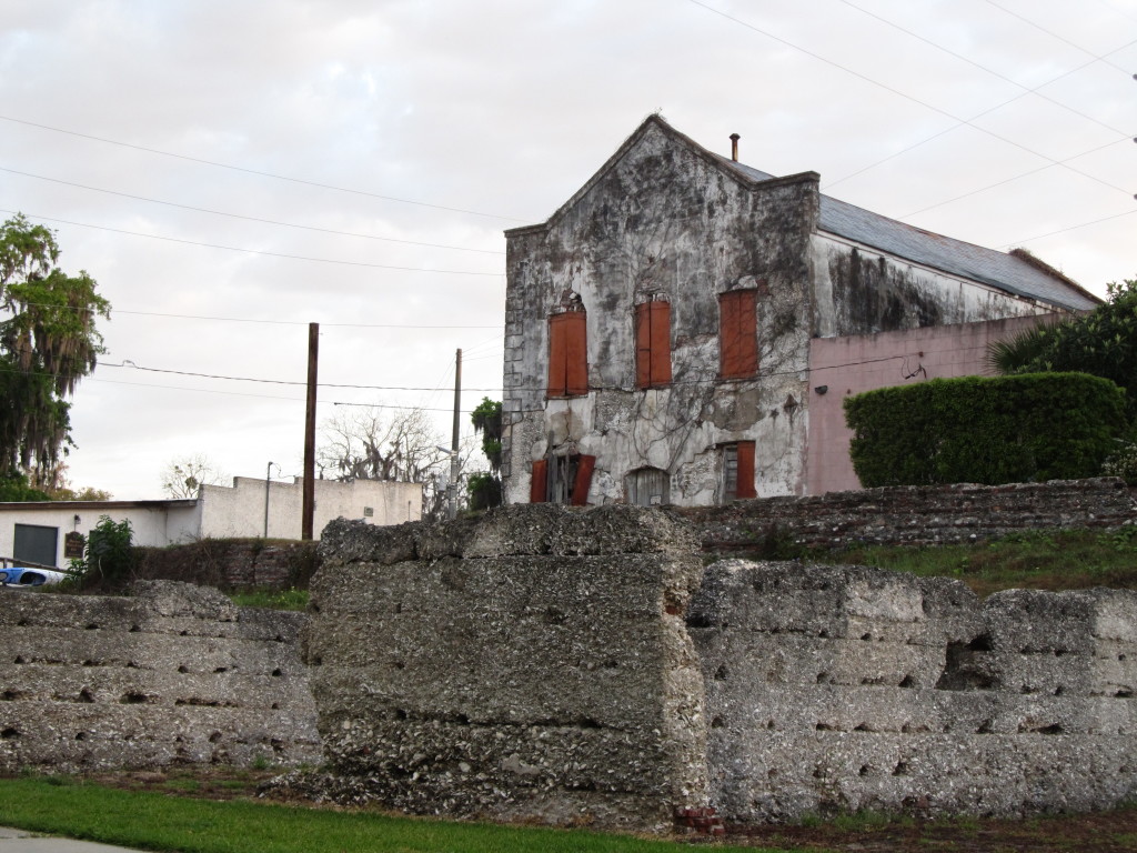 (Historic Darien, GA, view from Darien River.)
June 16-22 is the date for 8th annual Paddle Georgia 2012 which is a fundraiser for Georgia River Network and Altahama Riverkeeper. You can join 350 paddle enthusiasts paddle 108 miles, averaging 15 miles a day, for seven days on the Ohooppe and Altamaha Rivers from Reidsville to Darien. There will be food, camping, tours of historic sites, entertainment and educational programs.
The best advocate to Georgia’s environment is the stewardship of citizens who are suspicious of developers and commercialism. As more projects go to sea for renewable energy sources, questions of how wave and tidal power devices might affect marine life are being discussed along Georgia’s coast. Currently, Jekyll Island and Tybee Island are the two locations with the best potential for connecting power from an offshore wind farm to a transmission grid. (17)
Just in the last few years wind and tidal turbines have been introduced to the beautiful Atlantic Coast. In Maine….not everyone believes this is a sound idea.
Harbor seal mating occurs here in the water during the summer months. The pups are born almost a year later in late spring. When the cow is done nursing, she leaves her pup, and goes off to mate again. A little under 3 feet long, the pup has to fend for itself. In about 4 to 6 years, when it is fully grown, it will be about 5 feet long and about 250 lbs. By 1972 seals were almost gone from most of New England. This was the year that the U.S. marine mammal protection act was passed.
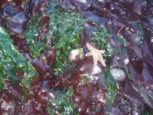 This is a picture at low tide in Cobscook Bay, Maine, when I was kayaking there last September. Nearby, Ocean Renewable tidal power was just getting settled in. They have described their tidal turbine as “a giant lawnmower.”
Collision Risk Assessment
Eagle Accidents at Altamont Pass
Tidal Turbines
Noise Problems on Maine’s Fox Islands
In spite of the projected benefits, various environmental nongovernmental organizations (NGOs)–local, national, and international–and local fishermen’s groups strongly oppose the tidal power plants at this time. Those groups anticipate deep and lasting harm to the tidal flat ecosystem, fisheries, and landscape. Whether the underwater acoustics of the turbines harm marine life and how fish and marine mammals might interact with the turbine’s rotors… many marine species rely on the earth’s magnetic fields for migrating and searching for food and we don’t know yet if electromagnetic fields will repel or attract certain species…. Wave, tidal, and hydrokinetic power devices, and the cables that bring electricity they generate to shore produce similar electromagnetic fields and there has not been a lot of research on whether or not marine life might be affected.
Paddle/HikePlay
Science/Green
References
1. Lost Worlds: Sapelo Shell Rings
2. Charles C. Jones, Jr., “Antiquities of the Southern Indians, Particularly of the Georgia Tribes.” University of Alabama Press 1999; p. 201.
3. David Hurst Thomas, “St. Catherines: An Island in Time.” Georgia Endowment for the Humanities; 1988; p. 21-23.
4. Scientific American, 12/6/10, Testing the Waters with Tidal Energy by Bruce Dorminey and the Daily Climate
5. Balancing Human and Enviromental Issues in Tidal Power Development, U of Maine.
6. University of Alabama, T. Fred T. Andrus, Dept. of Geological Sciences. Midden Geoarchaeology.
7. Vast St. Simons Island Property in Georgia to Become Nature Preserve
References
8. Cobscook Bay Resource Center: Modeling in Cobscook Bay, Maine: A Summary, Perspective, and Look Forward
9. South Korea’s Plans For Tidal Power: When a Green Solution Creates More Problems
10. Ogeechee River; Sherpa Guides.
11. DAR Digital Archaeolical Record
12. Feral Horses by T. Martin
13. Kap Stann, “Georgia.” Avalon Travel Publishing, 1995.
14. Robert Hellmann, “Archaeological Investigations at Dungeness Historic District Cumberland Island National Seashore;” p. 24, 2007.
15. Collision Risks Between Marine Renewable Energy Devices and Mamals, Fish and Diving Birds.
16. Smart Planet, “Animal Magnetism: How Wave, Tidal Energy Devices Affect Sea Life,” Melissa Mahony; 9/21/10.
17. Mary Fairchild, “Kayaking With Altamaha Coastal Tours: Ancient Tidal Forests to Ocean Renewables.” 2012.

