By Mary Fairchild
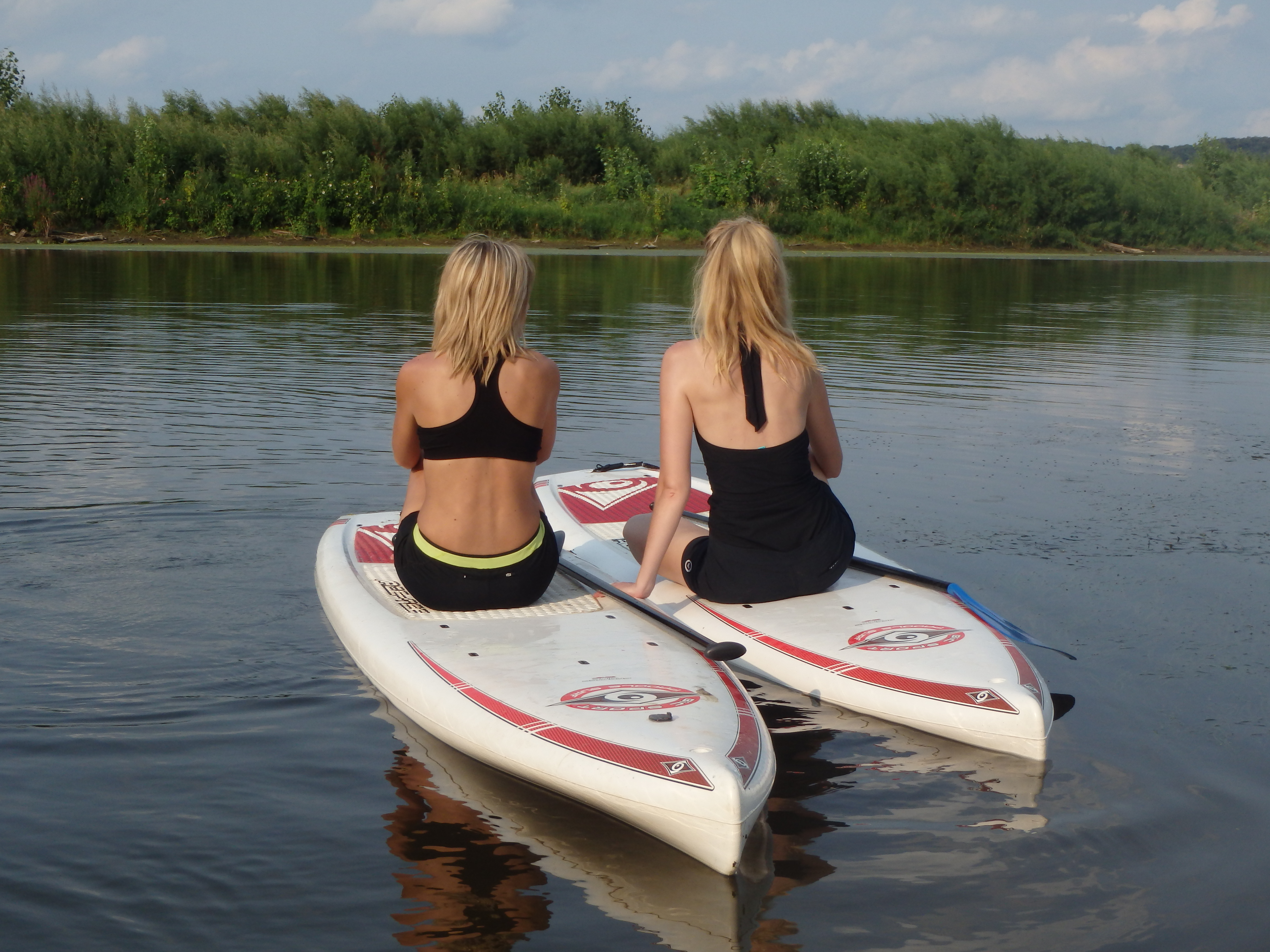
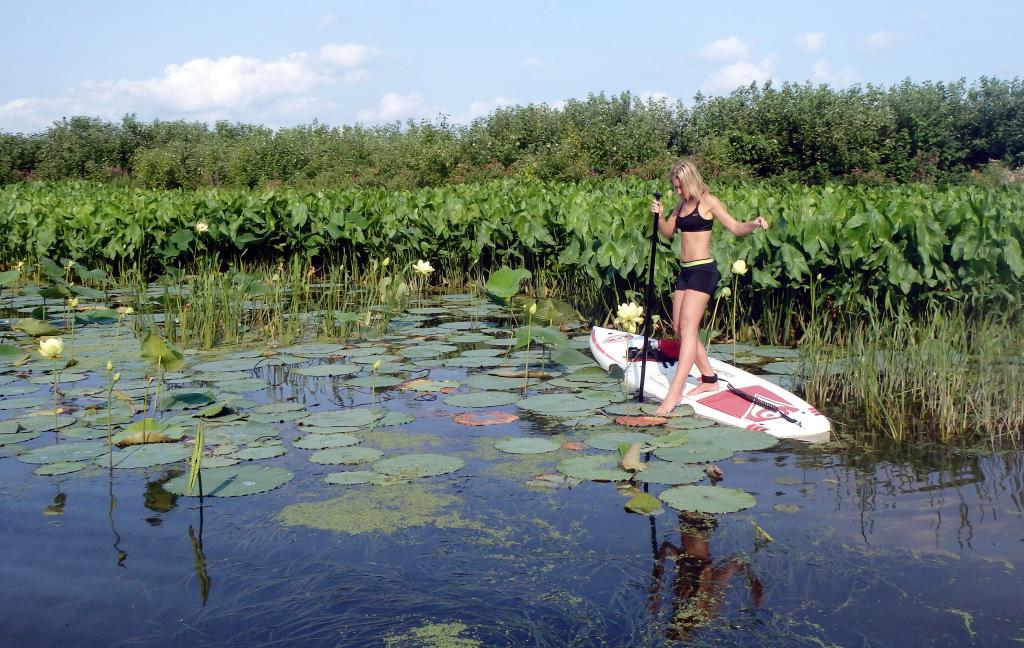
Mudd Lake just north of Dubuque 8/6/13; Big River SUPtours; SUP the Mag.
It is strange how little has been written about the Upper Mississippi. …Along the Upper Mississippi every hour brings something new. There are crowds of odd islands, bluffs, prairies, hills, woods and villages–everything one could desire to amuse the children. …as we form our opinions of our country from what other people say of us, of course we ignore the finest part of the Mississippi.- Mark Twain
As Mark Twain noted in the above quote to the Chicago Tribune in 1886, there is a great contrast between the topography of the Lower to that of the Upper Mississippi River. Whereas the Lower Mississippi consists mostly of flat, broad, meandering river, the Upper Mississippi is a multi-thread stream with many bars and islands that is entrenched with high bedrock bluffs. ( Flickr Pictures)
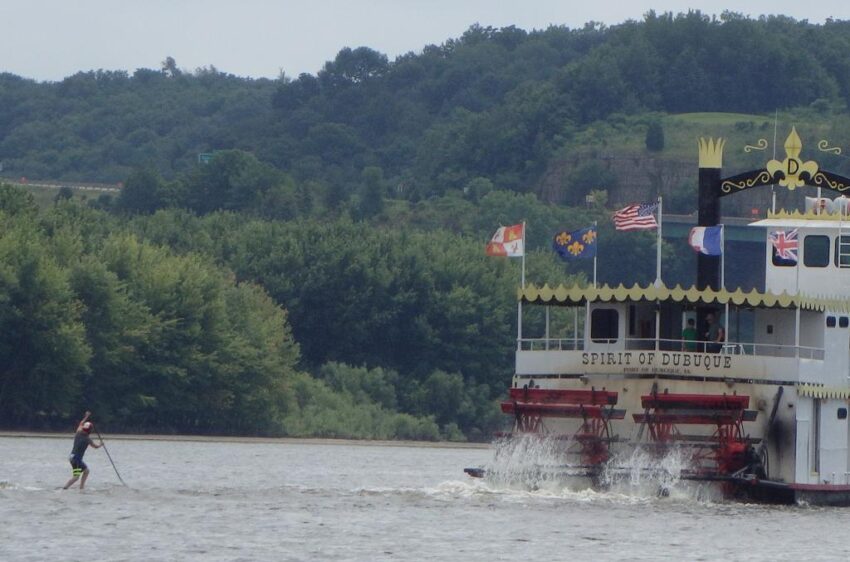
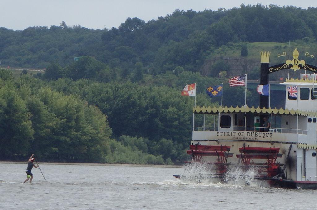
Kip Hoffman surfs the boat wake behind the Spirit of Dubuque; YouTube Link.
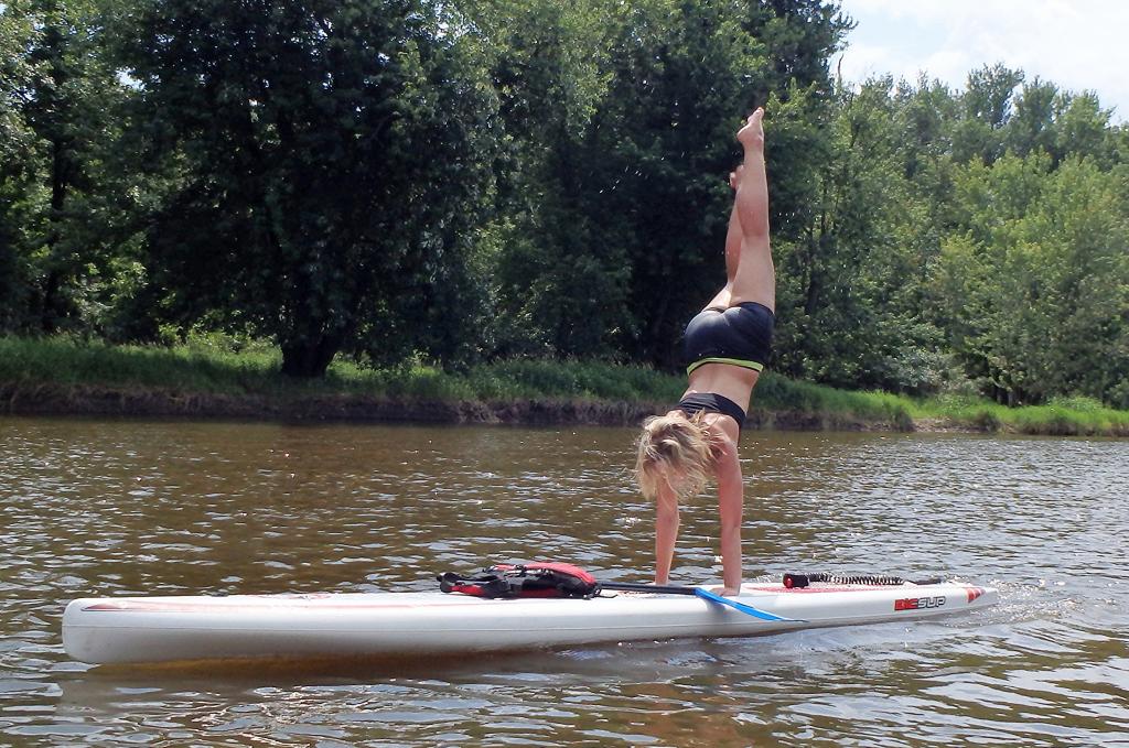
SUP has it’s roots in surfing and Hawaiian culture, and can be more easily described as ‘a cross between canoeing and surfing.’ But what was once strictly an ocean phenomenon has recently taken roots in formerly ‘landlocked’ areas – and is opening up waterways to paddlers across the world! Kip Hoffman, Big River SUPtours
Much of the Upper Mississippi is a series of pools created by a system of 29 locks and dams. General Zebulon Pike Lock and Dam No. 11 is the lock and dam located between Dubuque, Iowa and rural Grant County, Wisconsin, on the Mississippi River. The upper and middle portions of pool 11 encompasses the majority of the natural river floodplain and is bounded by limestone bluffs. It contains many islands, side channels, and backwaters. The lower portion of pool 11 is a broad expanse of open water.
A primary reason for damming the river is to facilitate barge transportation. On most of the river it is easy to keep a narrow island or two between you and the main channel, but if you are in the open water when a barge or other large boat passes by you will be paddling the wake. If you are close to the shore the wake bouncing off the shore and wing dams will also create an interesting ride.
Pool 11 is part of the Upper Mississippi River National Wildlife and Fish Refuge. It extends 32 miles from Lock and Dam 11 in Dubuque to Lock and Dam 10 in Guttenberg. The refuge consists of intermingled life zones, and a mid-continental location which offers diversified habitats for reptiles and amphibians. It is also a part of the Mississippi Flyway (bird migration route).
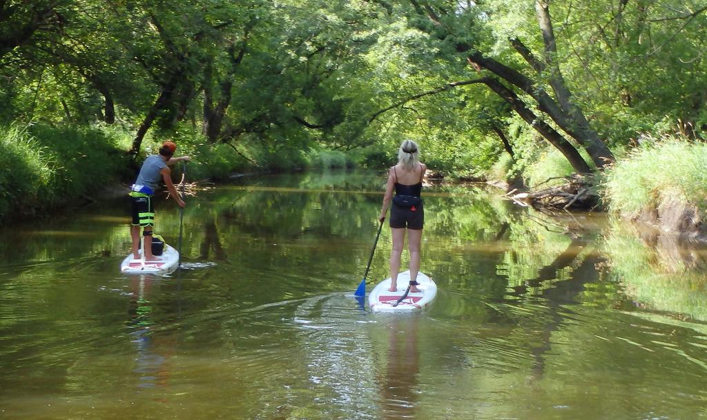
Paddling from the Little Maquoketa River to Mudd Lake.
Major tributaries that enter the Mississippi River in Pool 11 are the Turkey and Little Maquoketa Rivers in Iowa and the Grant and Platte Rivers in Wisconsin. The Little Maquoketa River is largely confined to Dubuque County, Iowa, and enters the Mississippi in the rural areas north of Dubuque. The Little Maquoketa River Mounds State Preserve is located high up on a limestone ridge above the Little Maquoketa River, not too far from the river’s mouth with the Upper Mississippi River. It contains a fenced-in 3-acre burial area with 32 mounds. The mounds are located on a dolomite ridge almost 200 feet above surrounding valleys. At one time, the Little Maquoketa River flowed around this projection and eventually joined the Mississippi River.
Mud Lake is a shallow backwater lake just north of Dubuque. Most of the area is about 3 feet deep at normal pool elevations. It is nearly covered by aquatic vegetation, primarily water lilies, pond weeds, American lotus, and arrowhead. In late July and early August the lakes are full of floating white water lilies and bright yellow lotuses.
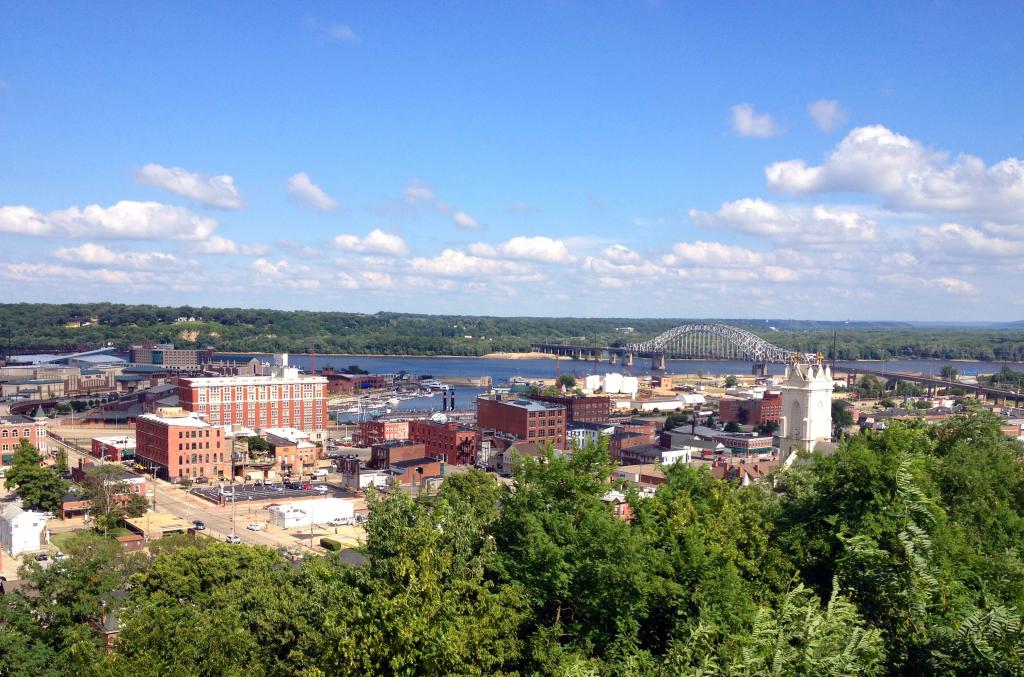
The Julien Dubuque Bridge is a National Historic Landmark.
In Downtown Dubuque, the Fourth Street Elevator travels up a large bluff and is the shortest and steepest railroad in existence. The hilly riverfront city of Dubuque attracts over 1,500,000 tourists annually. The city is made up of several distinct neighborhoods, each of which has a unique history. The neighborhoods include: Cable Car Square/Cathedral Square, the Central Business District, Jackson Park/Upper Main, Lower Main, the Warehouse District, and the Port of Dubuque, which has seen a massive amount of new investment and new construction.
The Mississippi National River and Recreation Area is the National Park Service site dedicated to protecting and interpreting the Mississippi River. The other two National Park Service sites along the river are: Effigy Mounds National Monument and the Jefferson National Expansion Memorial (the Gateway Arch in St. Louis).
Most of the river bottoms and islands from Lake Pepin to Rock Island, Illinois, are owned or managed by the Army Corps of Engineers or the Fish and Wildlife Service, they are open to camping and require no permit or fee, with the exception of a few campgrounds operated by the Corps. Navigation maps are available from the US Army Corps of Engineers web site.
Mark Twain, who’s writing immortalized life along the Mississippi River, first signed his writing with the name in February 1863, as a newspaper reporter in Nevada. “Mark Twain” (meaning “Mark number two”) was a Mississippi River term: the second mark on the line that measured depth signified two fathoms, or twelve feet—safe depth for the steamboat. In 1857, at the age of twenty-one, he became a “cub” steamboat pilot.
Mfairlady Paddle/Hike/Play
References
- Big River SUPtours
- Amphibian and Reptile Checklists of the United States: Upper Mississippi River National Wildlife and Fish Refuge. USGS
- Managing the Upper Mississippi River. The Izaak Walton League of America.
- Canoeing the Big River. Reggie Mcleod; Big River.

bet you can get some good “freighter surf” on the Mississippi