By Mary Fairchild
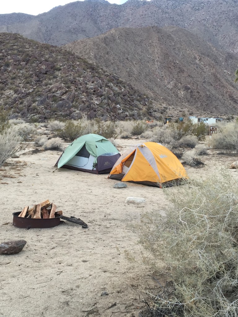
Anza-Borrego Desert
The Great Basin stretches from southern Idaho to Southern California which includes all, or portions, of Oregon, California, Nevada, Wyoming, Utah, and Colorado. Its southwestern parts are now known as the Mojave and Colorado Deserts of Southern California. In this large, generally dry, mountain-studded region of the West the rivers do not flow to the sea and streams disappear into the sand. Surface water collects in a few shallow, salty lakes within this drainage basin, which encompasses most of Nevada, and smaller portions of five other states.
The Paleo-Indian sites dating from c. 10,000 BC show that San Bernardino county has been inhabited for at least 12,000 years. Artifacts in the Calico area suggest much earlier human occupation, but this has not been confirmed.
In the past three thousand years various Indian tribes flourished in the area and there may have been people in Southern California more than 15,000 years ago, but the earliest remains with firm dating are about 11,500 years old which would place them at the end of the Pleistocene epoch.
During the Pleistocene the area was cold, but with a shift in the glacial conditions about 11,000 years ago there was a warming trend. By 8,000 years ago the many Pleistocene lakes were receding and sometime between 5,000 and 2,000 B.C. a major climatic shift took place which resulted in much reduced rainfall and increased aridity.
There were occasionally more moist periods which revived the water table and maintained the springs and seeps. In drier times the desert people retreated to the margins of the arid lands and to the oasis areas. This led to times of sparse occupation for many of the desert regions, a patterned followed not only in the Mojave Desert but throughout the Great Basin.
There is evidence that humans were present well over 10,000 years ago here according to archaeological studies that have been made around the Superior Dry Lake area. But because humans were nomadic and did not learn to cultivate food but searched for it in every type of terrain, they lost or left behind very few of their artifacts and possessions.
In most of the Great Basin region, Late Pleistocene and Holocene alluviation has buried and sealed earlier Pleistocene sediments and possible evidence of pre-Clovis cultures. In the Manix Basin (Lower Mojave Valley) of San Bernardino County, California, however, environmental factors relating to mountain building; climatically controlled conditions for lake formation, alluviation, and erosion; faulting and folding; and significant erosion of ancient lacustrine plain sediments by the modern drainage have rendered relatively accessible for archaeological investigation a series of deposits that represent more than 350,000 years of Quarternary history. (18)
Several mountain ranges define the Mojave River Valley—the Cady Mountains, Rodman Mountains, Newberry Mountains and San Bernardino Mountains. During the Pleistocene Epoch, Lake Manix, which was a fresh-water lake, occupied the central area of the valley. Lake Manix was fed by the Mojave River, bringing water down from the San Berardino Mountains. Lake Manix drained 20,000 years ago and now, the Mojave River flows underground across the valley, only surfacing in selected areas.
The Lake Manix Lithic Industry is represented on the large Pleistocene alluvial fan which extends eastward from the Calico Mountains into the western portion of the Lake Manix Basin. The Calico Early Man Site is situated on and within this alluvial fan, called the Yermo Formation. The excavation at the Calico Early Man Archaeological Site began in 1964.
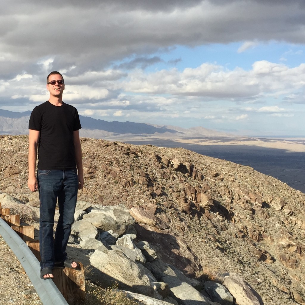 The Anza Borrego Desert State Park lies in a major topographic depression with the Salton Sink where elevations of 200 ft below sea level form the northernmost end of an active rift valley and a geological continental plate boundary. Six million years ago, the ancestral Gulf of California filled this Salton Trough, extending northward past what would become the city of Palm Springs.
Tropical waters once supported both large and small marine organisms here and the region received three times as much rainfall as now. Over time, the sea gave way as an immense volume of sediment eroded during the formation of the Grand Canyon spilled into the Salton Trough and the ancestral Colorado River built a massive river delta across the sea way.
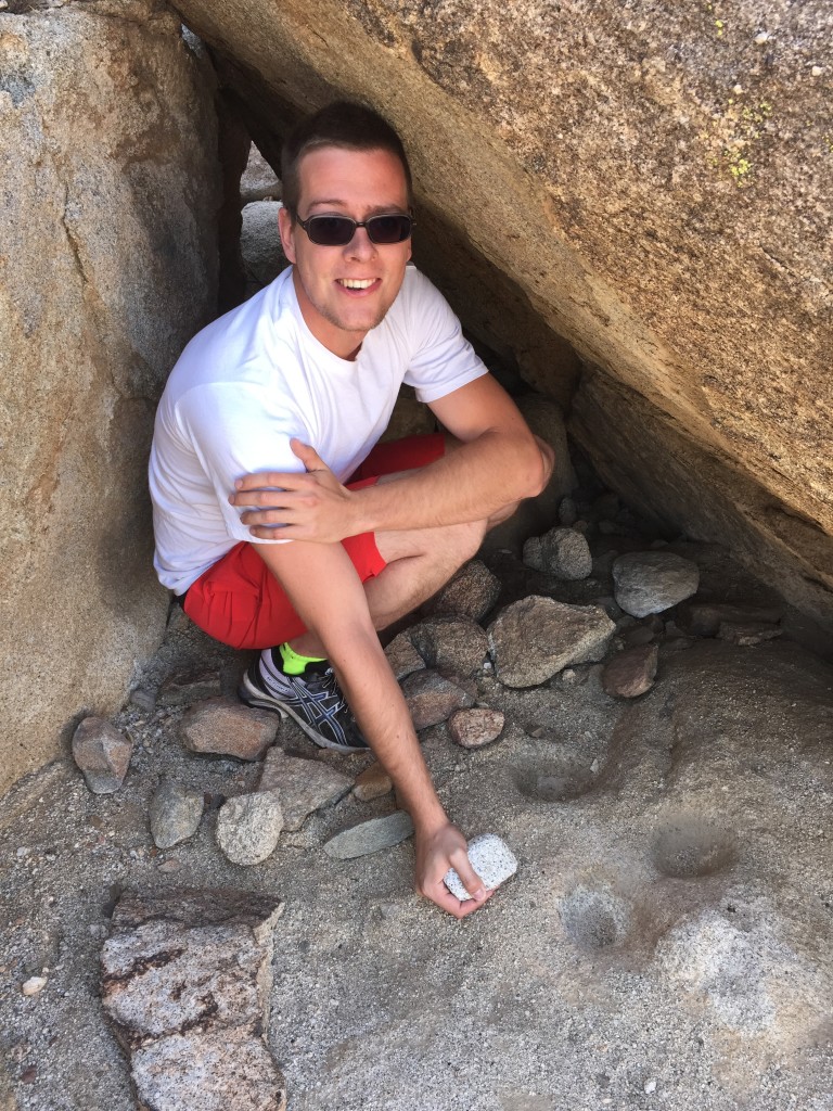 Blair Valley Ehmuu-Morteros Trail Rock Shelter with “cupules.”
Remains of “Paleo-Indians” are rare and sparse. The men, women, and children lived around the large lakes and marshes, and near streams. Much of the information about them is speculative. They were hunter-gatherers. They used stone tools such as spear points, half-round cobble scrapers, gravers, drills, and hammer stones. Some of the petroglyphs found in the desert areas could have been made by these early people.
High up on a ridge overlooking the vast expanse of Anza-Borrego ‘s Indian Valley is a room-size rock shelter once used by Native Americans. Pictograph Trail Little Blair Valley: pictographs are included in the 4757-acre Little Blair Valley Cultural Preserve that was created in December 2010.
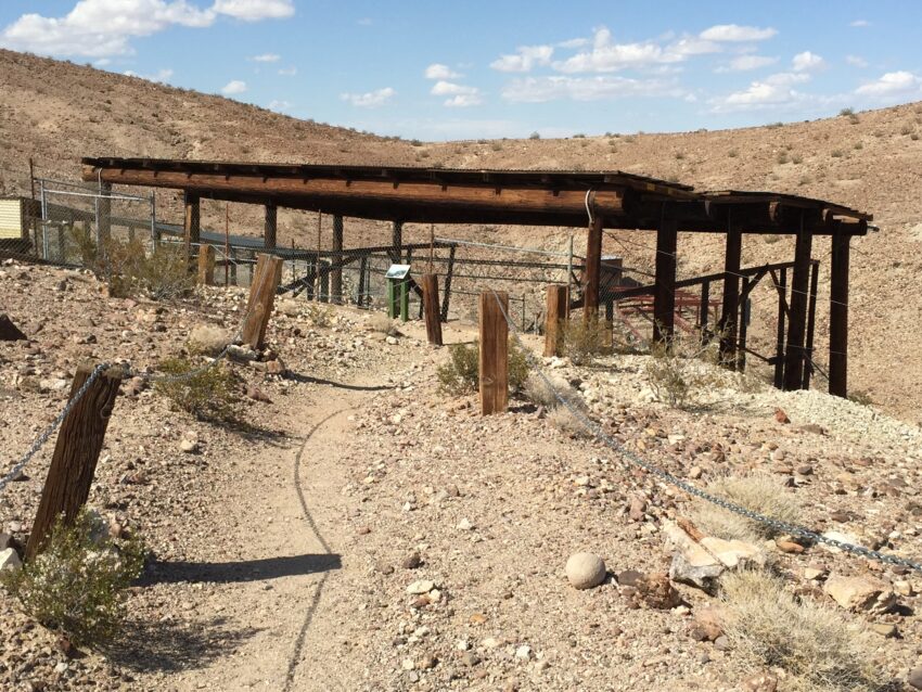
The Calico Mountains Archaeological Site is located 16 miles northeast of Barstow, California. Signs leading to the site off of Interstate 15 are located at the Minneoloa Road exit. The site is a quarry and tool production site on an alluvial fan. Here you will find nodules of chalcedony, jasper, and chert in abundance.
Thousands of rocks that bear a strong resemblance to prehistoric tools have been found at the site, both on the surface, and up to 26 ft below the surface. A stone from the Master Pit had been dated to over 200,000 BP, but this date could have been the result of contamination from other elements in the soil, so currently there is an effort to date verified lithics through thermoluminesence dating. While the results are still pending, the styles suggest 20,000 to 30,000 BP. Pictures of artifacts here.
Many of the chert specimens recovered, found in a concentrated area within an ancient desert fan, appear to archaeologists most familiar with lithic technology to be the work of humans. Much of the American archaeological establishment, inculcated with the theory of the recency of human entry into the New World—most of whom have never seen the specimens—simply write off Calico as an archeological site because the deposits in which the specimens are found are “too old.” Others who have seen the recovered material indicate a willingness to accept many of the specimens as artifacts “if only they had been found in a different context,” i.e. in a younger geological deposit. (9, p. 3)
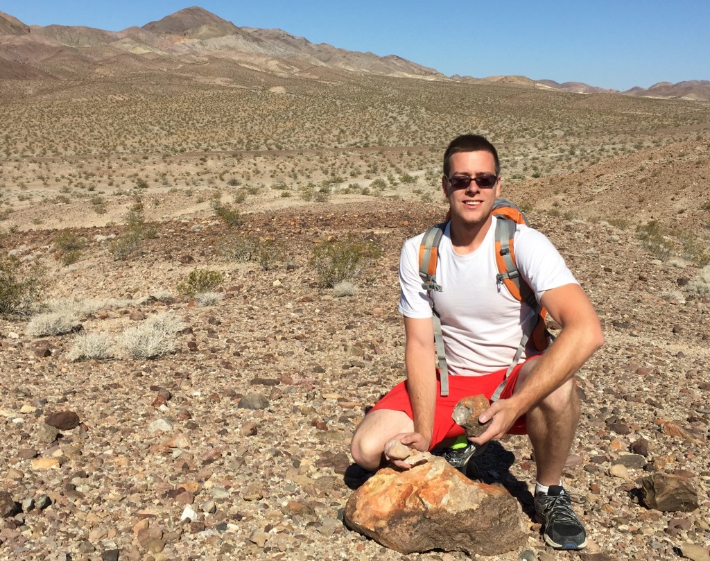 Collecting agate, chalcedony, chert and jasper near the Calico Man Site.
All types of objects in proposed early man collections can be replicated, using the same types of raw material as the original specimens. Attributes of experienced man-made specimens can be compared with matching items in collections under study. Possible manufacturing techniques and patterns can thus be studied with more confidence in conclusions. Leland W. Patterson
Lithic assemblage is confirmed as a geofact if it is proven to be created by rock fracturing by tectonic stresses, weather, rock-on-rock percussion in streams and mudflows, pressure retouch of buried cobbles, and successive generations of flake removal and separation from cores through cycles of erosion and redepostion could have occurred during deposition of the alluvial deposits at Calico and produced specimens indistinguishable from artifacts.
A study of the attributes of a large representative sample of Calico flakes was carried out at the San Bernardino County Museum to determine whether a pattern of characteristics is consistent with that in flakes resulting from known human manufacture. The analysis work was performed by Louis V. Hoffman and Rose Marie Higginbotham, under the supervision of Ruth D. Simpson, who had been the principal archaeologist for the Calico Early Man Site.
According to Leland W. Patterson (14), random natural forces were not expected to create the same patterns of lithic attributes on a high frequency basis, as is typical of human lithic manufacturing. In human lithic industries, distinct tendencies can often be shown for selective use of raw materials, specific spatial distributions of specimens, and qualitative patterns of lithic attributes. (9, p. 41-2.)
In Higginbotham’s analysis, the floor adjacent to the knapper became littered with flakes and debitage, distributed in the area in a manner similar to that of the rock clusters found at Calico excavations. All lithic material was then retrieved and screened and examined. Of the 3,803 lithic specimens, 473 flakes were analyzed. The materials of these flakes were: chalcedony, 52.6%; chert, 40.6%; rhyolite, 5.3%; agate, 0.2%; and petrified wood, 1.3%.
Early methods of tool making probably used percussion force. This process, using either a hammerstone or anvil stone in the stone-on-stone techniques, produced many flakes with a bulbous swelling at the proximal end of the ventral surface where the blow occurred. The presence of such a force bulb is, according to Patterson, the key attribute in identifying percussive fractures. Of the 3,336 Calico flakes examined, 26.1% had force bulbs, and 24.3% of the 473 flakes produced in the knapping experiment possessed forced bulbs. Flakes produced by natural forces would more likely have been produced by pressure, which seldom results in distinct bulbs. (9, p. 41)
In percussion flaking, scars on force bulbs are often present, caused by the detachment of a secondary flake simultaneously with the parent flake. Of the Calico flakes with bulbs, 11.8% had bulb scars; 18.3% had had bulb scars in the knapping experiment. Since bulb scars do not always occur on force bulbs, this attribute is of less diagnostic value than the force bulb itself. Ripple lines on the ventral faces of flakes may occur from percussion flaking and pressure flaking. They seem to be related to the type of material being fractured and to the type of force employed. In the Calico sample, 44.2% of the diagnostic flakes (those with bulbs) had ripple lines, and 61.7% of those in the knapping experiment had ripple lines.
A low percentage of the diagnostic flakes had intact residual striking platforms. This may have been due to the use of hard hammerstones which would have caused platform crushing or to the use of large hammerstones which tend to remove striking platforms by secondary fracture. The type of material being knapped may also have been an influencing factor. The absence of remaining cortex on a high percentage of flake platforms may indicate striking platform preparation.
The striking platform angle in controlled flaking is generally less than ninety degrees. Acute platform angles were found on 94.3% of the Calico flakes with intact platforms, compared with 95.5% of the flakes from the knapping experiment. Consistently acute platform angles are characteristic of flaking by humans. A knapper often strikes multiple flakes in a series from a single core. This usually results in the production of some flakes with multiple facets on the dorsal face. In contrast, the removal of a few flakes from cores by random natural forces would not be expected to occur often by serial removals, and only a small percentage of multi-faceted flakes would thus be expected.
The percentage of dorsal facets of the Calico flakes are: 10.1% no facets; 43.3% one facet; 41.4% two facets; 51.1% three facets; 0.5% more than three facets. The percentages from the knapping experiment are: 0.1% no facets; 49.5% one facet; 35.6% two facets; 5.3% three facets; and 0.4% not identified. In the process of knapping, the initial or primary flake removal from the core leaves a dorsal surface covered with cortex.
Progressive reduction of the core produces secondary flakes with some remaining cortex. Many interior flakes with no cortex result from further reduction of the core. Of the total Calico sample of 3,336 flakes, 10.0% were primary flakes, 19.3% were secondary flakes, and 70.7% were interior flakes. The knapping experiment yielded 9.1% primary flakes, 29.8% secondary flakes, and 61.6% interior flakes.
Lendal W. Patterson has noted that the selective occurrence of certain types of raw material can be useful in identifying human activity at a specific location. Humans would tend to be selective in use of lithic raw materials, while natural forces would tend to fracture a wide variety of stone types in a random manner(14 , p. 305). The rock types making up the alluvial fan in which the Calico site occurs include andesite, dacite, chalcedony, chert, jasper, rhyolite, porphyry, limestone, granite and andesite tuff. Of the 3,336 flakes from the five Calico units, 85.5% were chalcedony, 5.8% were chert, 1.8% agate, 0.1% andesite and rhyolite, and 2.0% not identified. Therefore, at least 97.7% of the flakes were of siliceous materials. This shows material selectivity, indicating a strong possibility of lithic manufacturing activity by humans at the site.
Lithic specimens transported in a stream become rounded in a surprisingly short distance—0.5 to 1.5 miles (Carter, 1980:99). Examination of flakes with a ten-power lens showed little or no rounding of the sharp edges. This indicates that Calico flakes were produced at or near the site location and were not introduced by natural transport.
Although flake thickness may not be a very diagnostic attribute indicating human work, the average measurements of flakes from Calico and from the knapping experiment are comparable. However, according to Patterson, flake size distribution can be an important part of the study of lithic debitage. A high percentage of the total specimens recovered from the knapping experiment and from the five Calico units measured less than 15mm2. More than three-quarters of the flakes in both the Calico and experimental analysis were in the 15-35mm2 range, with 15 to 20% ranging in size from 35-70+ mm2. This size distribution indicates that the Calico materials have not been redeposited by natural forces. The similarity in the results of the Calico flake size distribution compared with those of the knapping experiment indicates that th Calico flake collection has remained intact after manufacture without resorting of flake sizes due to natural transport, suggesting a similarity between the Calico flake sample and results of human work.
Specimens collected from earlier excavations up to the present are under analysis by archaeologists volunteering at the Calico site. Many have been confirmed to be geofacts, but some are believed to be potential artifacts and have been cataloged and submitted for thermoluminescent dating. Currently work is being done on compiling and publishing the most recent finds at the site to be submitted to the local tribes, community and journals for peer review.(18)
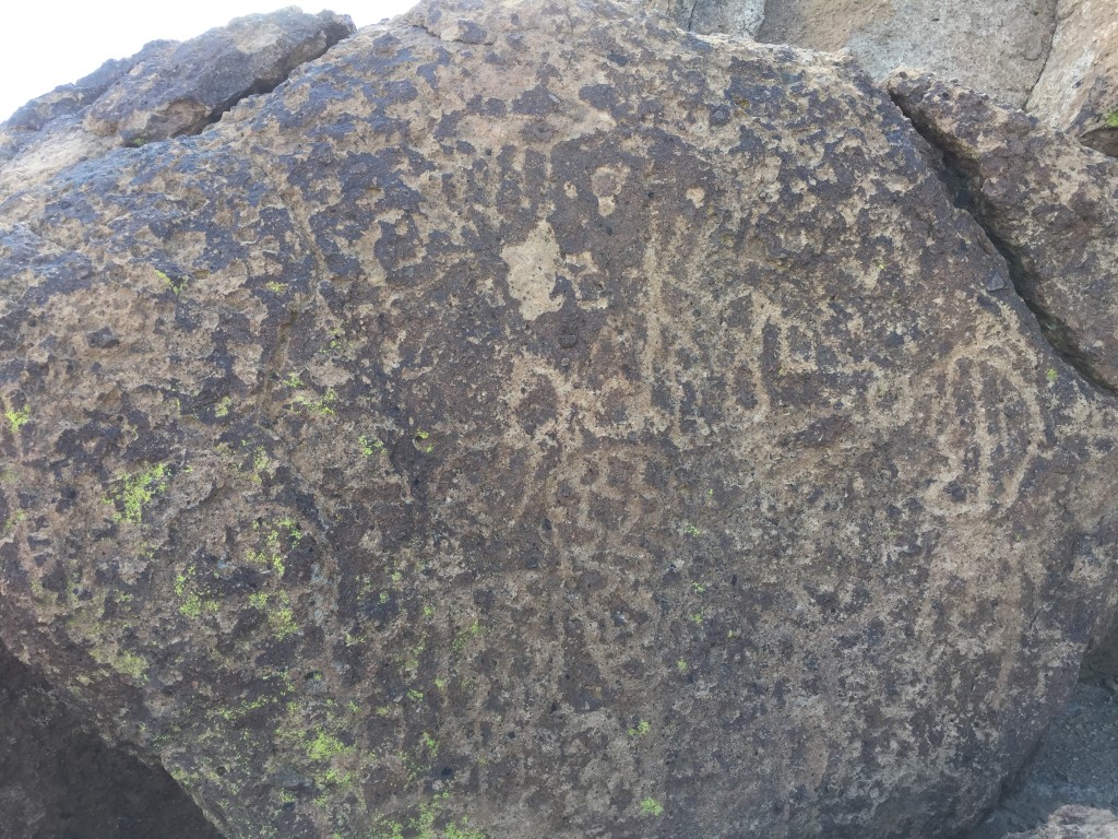 Rock Art in the Black Canyon, Mojave National Preserve,
35 miles northwest of Barstow, Black Canyon is situated in the northwest portion of the Mojave Desert. Black Canyon runs from north to south, acting as a drainage system for the Superior Valley, which in itself, contains Superior Dry Lake. The south end of the canyon drains into Water Valley, which has Harper Dry Lake as its low point. The canyon makes an ideal passage from one basin to the other. It is virtually level and is bountiful in food plants and a large variety of animals. The canyon and the canyon slopes are strewn with basalt rocks and boulders.
Ancient campgrounds have been found around the edges of both of these shallow basins. The canyon had been downcut since early Pleistocene times and the erosion continues. The basalt deposits have been estimated to be about one million years old, formed during the Pleistocene period—a time of increased volcanism all around the Pacific Rim.
Some petroglyphs in California have been dated 18,000-14,000 years. We don’t know when the inscriptions were made in the Black Canyon, but the curator of the Earth Science Department of the San Bernardino County Museum, Robert E. Reynolds, chronologically worked through some petroglyphs about 70 miles southwest of Black Canyon in the Imperial Valley, around the edge of what is now called the Salton Sea.
These glyphs had been made within a reasonable distance from the area on some organic rocks which are classed as tufa. The carving had been done on one surface of the stone, and at a later time, additional layers of tufa were deposited over the first, coating the original incisions but allowing a trace of the earlier petroglyphs to show through. Tufa is an organic material and can be dated by the carbon-14 method. Two layers were dated and found that the time indicated was approximately 9,000 years before the present. (19; 8.).
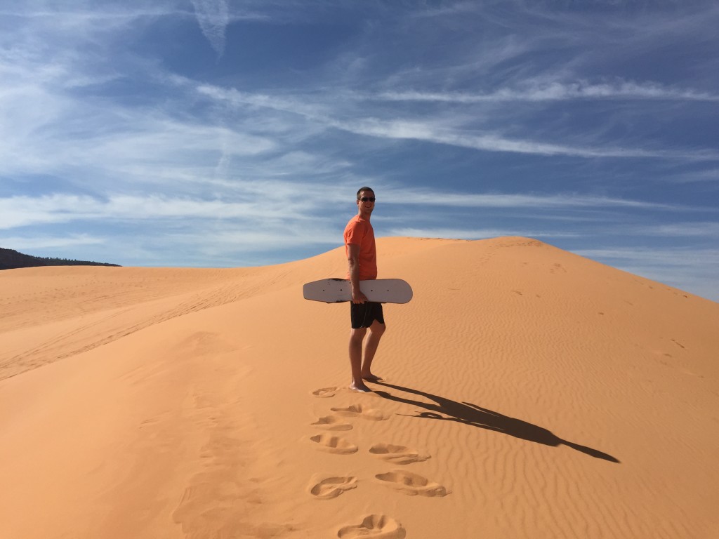 Coral Pink Sand Dunes State Park; 5/11/15.
Across the Colorado Plateau, ancient quartz sand from petrified dunes is being released, reworked, and sculpted by the weathering process. At an estimated age of 10,000 to 15,000 years old, the Coral Pink Sand Dunes of Kanab, Utah, have been created from Navajo sandstone from the Middle Jurassic geologic period.
The Coral Pink Sand Dunes was created by a notch between the Moquith and Moccasin Mountains where the wind funnels with increasing wind velocity to a point where it can carry grains of sand from the eroding Navajo sandstone. After the wind passes through the notch and into the open valley, wind velocity decreases, depositing the sand.
Most of the active dune fields in the Southwest get their sand from ancient river and lake deposits. Great Sand Dunes National Monument , in Colorado, most likely began to form 12,000 years ago by retreating glaciers from the Rocky Mountain region. The Rio Grande, as it swelled with glacial melt and debris, spread sand and gravel across the San Luis Valley. Today, as prevailing westerly winds sweep across the valley floor, they push the sand toward the Sangre de Cristo Mountains where strong easterly winds and moisture hold the dunes in place creating the tallest dunes in North America.
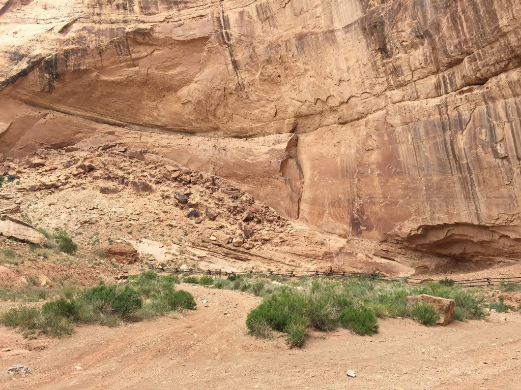
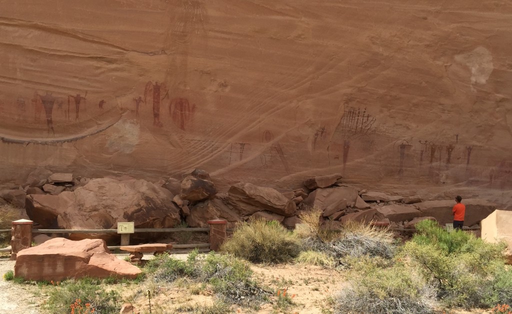
Just west of the Green River is the San Rafael Reef. Within the reef lies Black Dragon Canyon— named after the flying dragon pictograph on its wall. At your own risk, boulder the rockfall up to a secret cave rumored to be the dragon’s lair. The San Rafael Swell is an anticline where dozens of dinosaur bones are still visible in the ground and petroglyphs and pictographs are free to explore on the canyon walls.
Nine Mile Canyon is part of a 70 mile Backcountry Byway. The canyon is a natural conduit through the Book Cliffs between the Price River drainage and the Uintah Basin. Native Americans traveled the canyon including the Freemont and the Ute. The Freemont lived in the canyon for nearly a thousand years before they moved away in 1200 A.D.
Several methods of dating the petroglyphs have been developed. One method measures the ratio of certain chemical elements found in the “desert varnish.” Desert varnish is an accumulation of chemicals, or “patina”, which forms over the surface of the petroglyphs giving them a dark appearance. Ages for some of the petroglyphs have been determined using this method. They range from 19,000 years before the present time to as recently as the mid 19th century.
Sometimes petroglyphs with a lighter colored patina are superimposed over other darker petroglyphs more heavily patinated with desert varnish. It is generally assumed that the lighter superimposed petroglyphs are relatively more recent. A rock art site may have been used for hundreds or thousands of years. Paleo-Indians, Archaic peoples, and ancestors of Native Americans may all have added their marks in the same area.
Occasionally petroglyphs show articles from contemporary European and American culture such as horses, and men with large hats. Even trains have been depicted. A steamboat is shown at a site along the Colorado River. These petroglyphs must have been made within the last 200 years. Images of some hunters are shown with bows, arrows, and dogs. However, some of the human-like forms appear to be hunting big horn sheep with spears, and what seems to be an atlatl, or spear thrower. Since the bow and arrow was introduced in this area about 1,500 years ago, petroglyphs showing atlatls are probably older than this date.
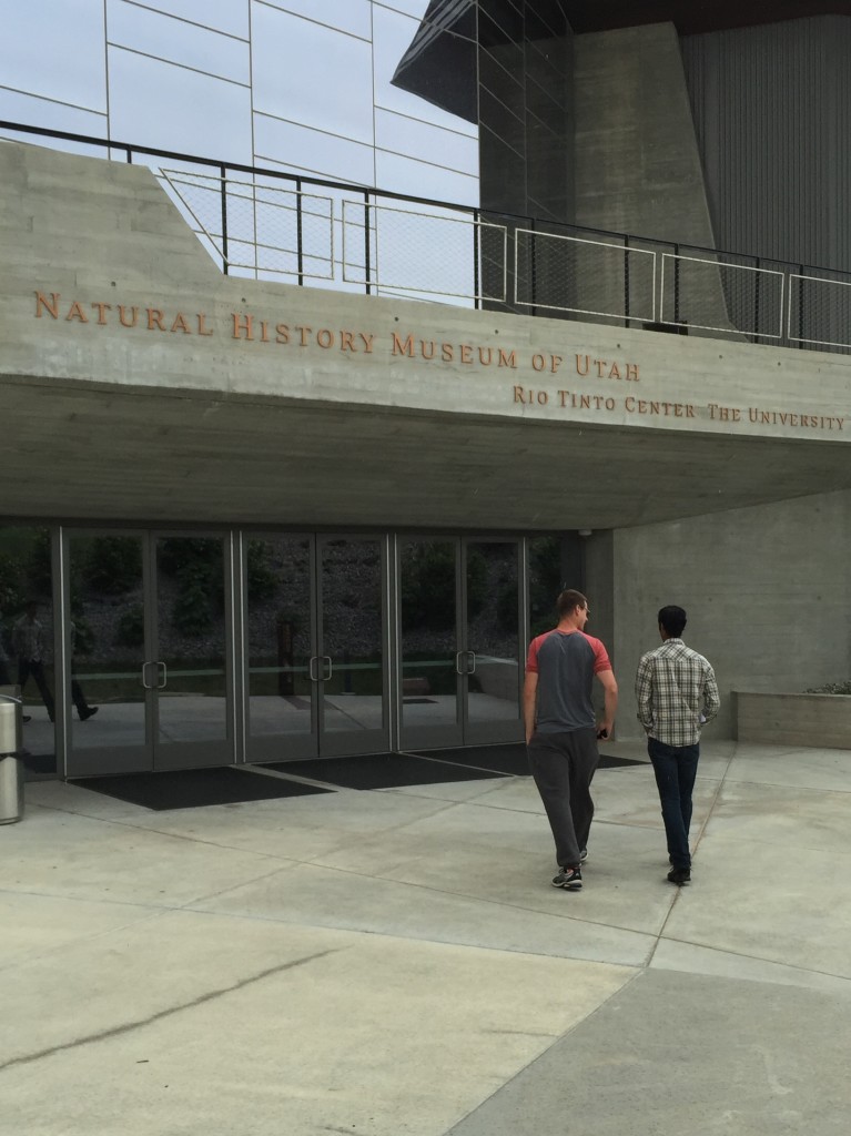 Utah Museum of Natural History, Salt Lake City, UT.
For several years, Corine Springer, an archaeologist from Utah’s Museum of Natural Resources oversaw the property of a retired rancher from central Utah who sold his 4,000 acre land containing ancient pit houses and rock art of the Freemont Culture to the BLM. Archaeologists estimate that several small communities of farmers and foragers lived at Range Creek 1,000 years ago. The ruins are said to be the best cared-for record of the Freemont Indians that exists. In 2009 the Range Creek Canyon was given to the University of Utah archaeologists for permanent research installation. (20)
“The beautiful thing is that the artifacts in Range Creek are undisturbed. Lots of good stuff has been found over the past 150 years, then carted off to museums or private collections. These artifacts remain where they were found, and that’s crucial. We can learn a lot more by taking a careful look a what’s here, and it’s relationship to everything else that’s here, than we can by looking at an artifact that’s been removed….The Fremont people and the better known Anasazi thrived in the Southwest between 400 and 1300 AD. Sometime between 1250 and 1300, both of these desert dwelling cultures suddenly deserted their homes. “The reason for their departure remains a mystery,” said Jones. “I’m hopeful that this trove of artifacts might give us some clues as to what happened around 700 years ago to bring an end to this culture.”(18)
Carbon dating of artifacts has revealed that about a dozen miles of the canyon was occupied by hundreds, maybe thousands, of people for two or three centuries until around 1200 A.D. Baskets and tobacco bundles suggest human life showed up at the canyon hundreds of years earlier and lingered longer, but significantly, the large population seemed to virtually vanish by 1200 A.D., for reasons not fully understood. The canyon was occupied by the continent’s original Paleo-Indians, the Freemont who were distinguished by their style of basket weaving, animal-claw moccasins and dual survival strategy of farming and hunting. The farming-dependent Anasazi of the Colorado River also disappeared about the same time. (20)
The Indians of the desert culture, found in the Great Basin area of present day Utah, Nevada, and Arizona, and existing from 9,000 to 1,000 B.C., possessed a primitive foraging society. The earliest examples of basketry in North America have been found in Danger Cave in Utah as well as grinding stones to process seeds. Desert Indians made twine from hair, fur, and plant fibers to create traps to capture small game.
An accepted view of how the first North Americans arrived has been that of the Bering Strait land bridge, or Beringia. There were four glaciations in the million-year Pleistocene Epoch, the later part of the Cenozoic era, the Age of Mammals. The final ice age, the Wisconsin glaciation, lasted about 90,000 or 75,000 to 8000 B.C. It is theorized that at various times during the Wisconsin, enough of the planet’s water was locked up in ice to lower the oceans and expose now-submerged land. There would have been a 1000 mile wide stretch of tundra across the Bering Strait bridging the two continents.
Both geological and archaeological evidence points to this ice-free corridor for several thousand years along the spine of the Rocky Mountains. The Wisconsin glacier would have blocked any further southern and eastern migration and early man would have been in the Alaska region for generations which was ice-free at that time due to low precipitation.
10,000 years later, during another melt, a second corridor probably formed farther east along the Alberta-Saskatchewan plains. The third most likely developed in the late Wisconsin along the Yukon, Peace, and Laird Rivers. Some Native Americans migrated to North America by boat. From about 2500 to 1000 B.C., Inuit and Aleut used wooden dugouts and skin boats to cross the Bering Sea. Growing archaeological evidence of ancient coastal cultures indicate earlier peoples might have arrived by boat as well. Seafarers may have worked their way along the North Pacific Rim, following the coastlines from Asia along northern ice sheets, then southward along the Pacific coastline of the Americas.
The fact that 3% of Native Americans can share a genetic trait occurring elsewhere only in parts of Europe indicates that some ancient Indians might have followed North Atlantic ice sheets as well from Europe. These waves of ancient Indians were the real discoverers of the Americas.
Related Posts
FOSSIL/GEOLOGY/PALEONTOLOGY
- Dinner With Frederick Schram (Mazon Creek Fossils)
- Dinosaur Bone Hunting(Wyoming; South Dakota; Paleo Prospectors)
- ESCONI Rock Club: If I Could Turn Back Time
- Lizzadro Museum of Lapidary Art: Chinese Jade Carvings, Fossils, and Minerals
- Mazon Creek Fossils (Illinois fossils)
- Mid-America Paleontology Society Annual Fossil Show Moves to Iowa
- Paul Sereno: African Dinosaurs Exhibit 2011
- Sea Change and Sea Kayaking (Door County; Dolostone; Niagara Escarpment; Mazon Creek)
- Wisconsin’s Glacial Mounds
NATIVE AMERICAN/INDIAN MOUNDS/SHELL MIDDENS/PICTOGRAPHS/CAIRNS
- Owsley’s Kennewick Man Research may be Trumped by DNA Tests Similar to Anzick Child
- Douglas Owsley Chooses to Omit Peer-Review on Kennewick Man Research
- Old Copper Culture: A Visit With Pete Stark
- Sea Change and Sea Kayaking (Door County artifacts)
- Kayaking the Apostle Islands: Kennedys, Native Americans, Religion, and Myth
- Jekyll and Cumberland Island: Surf Workshop With Geneva Kayak (Federal Reserve; Shell Middens)
- John Ruskamp Speaks at ESCONI: Midwestern Epigraphic Society, Pseudoarcheology, and Xenoarchaeology Today (Pictographs, Scientific Method vs. Imagination)
- Kayaking Georgia’s Coast: Tidal Flat Ecosystems, Ancient History, and Stewardship (Shell Middens)
- Local Native Americans Buried in Blue Wing Cemetery by Ross M. Curry
- Paddling Lake Okoboji (Inkapaduta, Abbie Gardner)
- Sea Kayaking Narragansett Bay: Native American Footpaths and Soul Freedom (Cairns)
- Watertrails Reveal Rich Archaeological History in the Midwest (Aztalan, The Palace Site)
- Wisconsin Dells History: A Walk With Ross M. Curry
- Wisconsin’s Indian Mounds
References
- Gordon and Cathy Sullivan, “Roadside Guide to Indian Ruins & Rock Art of the Southwest,” Westcliffe Publishers; 2006.
- Sally J. Cole, “Legacy on Stone: Rock Art of the Colorado Platear and Four Corners Region,” Johnson Books; 2009.
- Robert Heizer & Albert Elsasser, “The Natural World of the California Indians,” U of California Press; 1980.
- Ronald Dean Miller and Peggy Jeanne Miller, “The Chemehuevi Indians of Southern California,” Malki Museum Press; 1967.
- Carl Waldman, “Atlas of the North American Indian,” Checkmark Books; 2000.
- Cheri Rae & John McKinney, “Mojave National Preserve: A Visitor’s Guide,” Olympus Press; 2010.
- Thomas Wiewandt and Maureen Wilks, “The Southwest Inside Out,” Wild Horizons Publishing; 2001.
- Wilson G. Turner, “The Rock Art of the Black Canyon,” San Bernardino County Museum Association, Vol. 41 (1&2), Winter & Spring 1994.
- Ruth DeEtte Simpson, “An Introduction to the Calico Early Man Site Lithic Assemblage,” San Bernardino County Museum Association, Vol. 46, #4, 1999.
- David P. Whistler, “A Late Pleistocene (Rancholabrean) Fossil Assemblage from the Northwestern Mojave Desert, California,” San Bernarndino County Museum Assoc., Vol. 37, #2, Summer, 1990.
- Haynes, Vance (1973) “The Calico Site: Artifacts or Geofacts?”, Science, vol. 181, no. 4097, July 27, 1973, pp.305–310.
- Payen, L., “Artifacts or geofacts at Calico: Application of the Barnes test,” in Peopling of the New World, Ericson J., Taylor, R., and Berger, R., eds. Los Altos, California: Ballena Press, 1982, pp.193–201.
- Duvall, James G., and Venner, William Thomas, “A Statistical Analysis of the Lithics from the Calico Site (SBCM 1500A), California”, Journal of Field Archaeology, Winter 1979: Vol. 6, No. 4, pp.455–462.
- Patterson, Leland W.; Hoffman, Louis V.; Higginbotham, Rose Marie; Simpson, Ruth D. (1987) “Analysis of Lithic Flakes at the Calico Site, California“, in Journal of Field Archaeology, Vol. 14, No. 1 (Spring, 1987), pp.91–106.
- Morell, Virginia (1995) Ancestral Passions: The Leakey Family and the Quest for Humankind’s Beginnings, Simon & Schuster, pp. 266–267.
- Debenham, N., (1998) Thermoluminescence Dating of Sediment from the Calico Site (California) (CAL1), Quaternary TL Surveys, Nottingham, United Kingdom, 1998.
- Wikipedia, “Calico Early Man Site.”
- “Science News,” 2/26/77, Vol. 111, No. 9, p. 138.
- Melissa Sanford, “Utah’s Ancient Ones,” Archaeology; Archaeological Institute of America, 2004.
- Paul Foy, “Utah to turn Over Fabled Range Creek canyon to U. of U. Archaeologists; The Associated Press, 8/25/09.

