By Mary Fairchild
Known as the “Driftless Area,” southwestern Wisconsin escaped glaciation. A low plateau deeply cut by stream valleys, it is an old landscape whose rougher surface contrasts with ice-formed topography. Astellated buttes, spires, and pinnacles were sculpted by Glacial Lake Wisconsin breaking on sandstone outliers of the Driftless Area.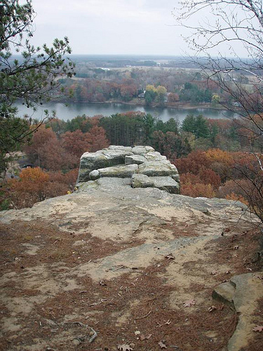
This is a view from Friendship Mound overlooking Friendship Lake. Three stages in the erosion cycle are well represented by Friendship Mound. Because the rock is porous, lacks limy and shaly beds, and it has a thick-bedded character, we find the soft, weak Cambrian sandstone is able to stand up in cliffs, irregular crags and tower formations.
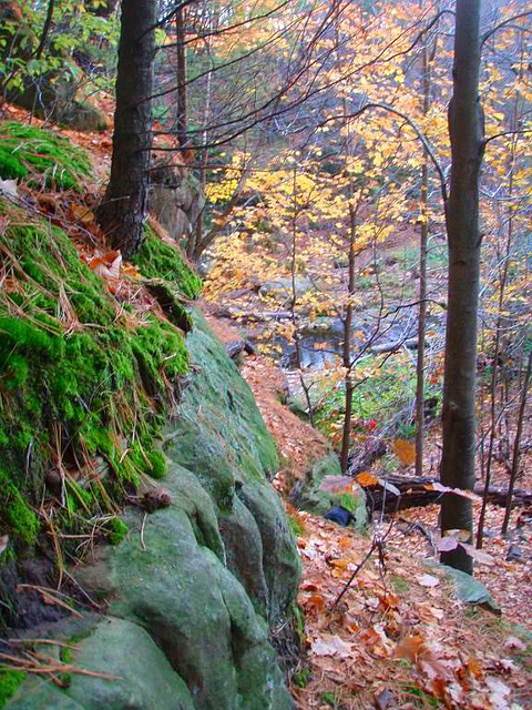 Pewits Nest, Baraboo.
The term “mound” in Wisconsin refers to any isolated hill. Flickr pictures here. Weathering and wind work are going on rapidly around the borders of these tabular hills. The sandstone breaks down along vertical joints, the rock falls to pieces, and is blown and washed away. The hills that have resisted erosion are called monadnocks and consist of Precambrian rock. Others have been fortified on top, or capped, by stronger layers of rock.
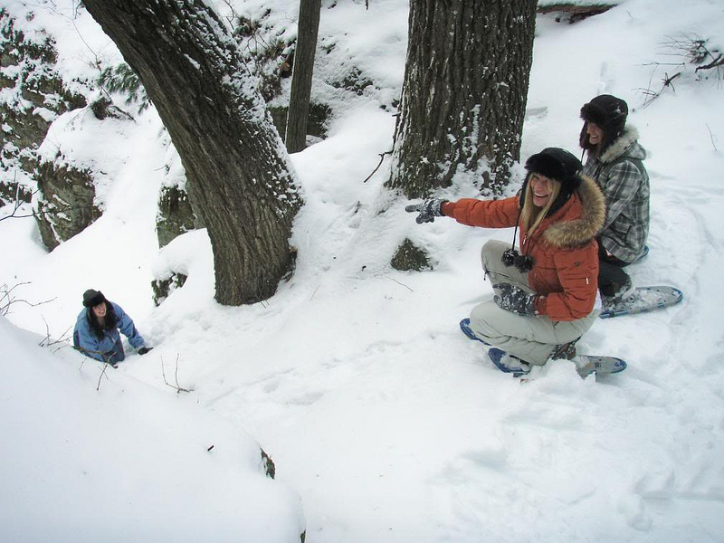 Elephants Back Mound, Adams County.
Some of the deep gorges and valleys have populations of plants associated with cooler northern climates still persist. Drumlins, kames, eskers, kettles, and moraines are now protected in the Ice Age National Scientific Reserve and offer a great introduction to Ice Age geology.
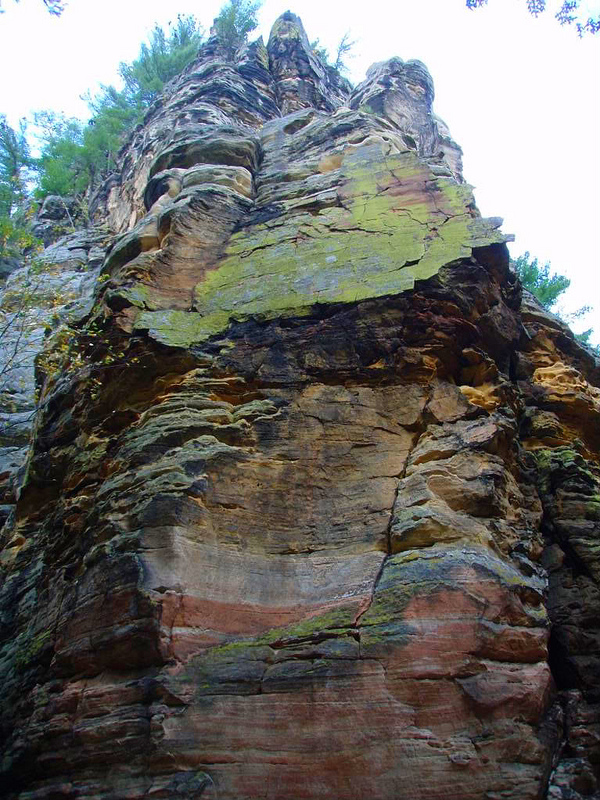 Roch-a-Cri Mound, Adams County.
Roch-A-Cri is located in Adams County and it is the sheerest cliff face in Wisconsin. A view from its 300′ overlook spans 120 miles. Adams County is located in the heart of Central Wisconsin and has 23 well known rock formations. The topography in northwestern Illinois, southwestern Wisconsin, northeastern Iowa, and southeastern Minnesota is very different from the rest of the Midwest. Before the Glacial Period these rock formations must have existed in vast numbers throughout the whole Central Plain. Where the weak sandstone lay in the direct path of a rapid current of the glacier, the ice eroded deeply and scoured out lake basins.
Far too delicate to have survived glaciation, many of the mounds have been created by wave erosion by Glacial Lake Wisconsin. Eventually the buttes soon wear down to conical hills. The capping material which forms the flat tops of these buttes and mesas is one of several resistant sandstone layers, which is better cemented than the average. Because the rock is porous, lacks limy and shaley beds, and it has a thick-bedded character, we find the soft, weak Cambrian sandstone is able to stand up in cliffs, irregular crags and tower formations.
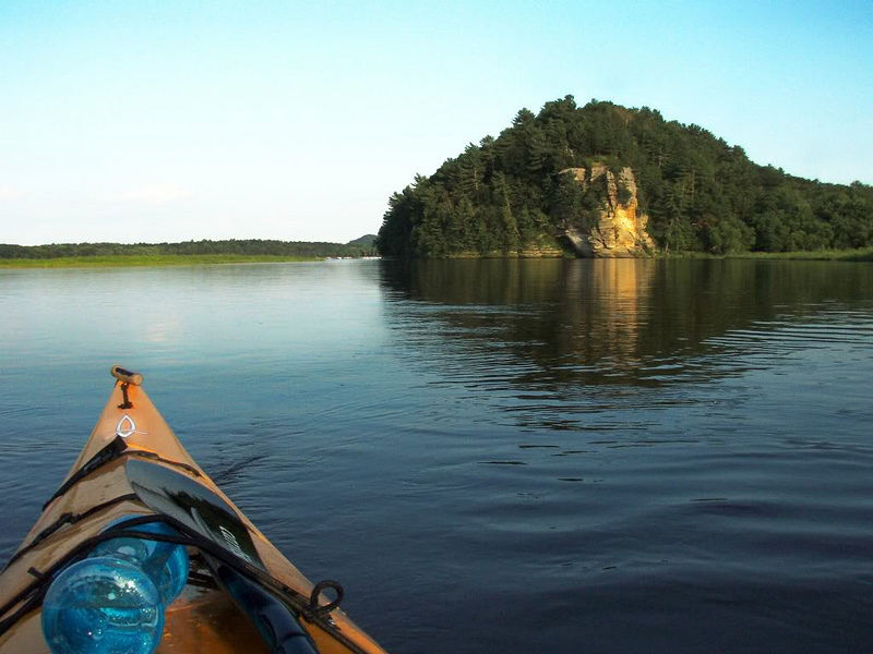 Louis Bluff; Upper Wisconsin River, Wisconsin Dells.
Central Wisconsin was once covered by Glacial Lake Wisconsin. Huge lakes were formed when glaciers, and their deposites, blocked natural drainages. As the glaciers retreated northward, many of the lakes drained and left broad, flat lake beds which are now rich agriculture lands and large marshes providing rich habitat for birds and other wildlife.
The extensive waterways left by glaciers provided easy transportation routes a well as homes for fish, fowl, and animals which attracted early peoples. Forests provided timber which was harvested and shipped along the waterways.
Located between the Great Lakes and the Mississippi River, Wisconsin is divided into five distinct geographical regions providing a variety of amazing hiking and kayaking. In the north, the Lake Superior Lowland occupies a belt of land along Lake Superior. Drumlins, kames, eskers, kettles, and moraines are now protected in the Ice Age National Scientific Reserve and offer a great introduction to Ice Age geology.
Ground moraines were deposited under moving ice, or were just let down in carpet-like form as stagnant ice melted. End moraines are merely glacial dumps from the edge of moving ice and are usually perpendicular to the glacier’s direction of flow.
There are three types of end moraine. Terminal moraines are the outermost end moraines of the glacier’s advance and they mark where the glacier ended. Recessional moraines are those left by retreating ice. Interlobate moraines are built between lobes of ice.
Erratics are rocks carried from a distance in or on the ice. Drumlins were built up in layers beneath glaciers and usually occur in groups up to hundreds behind end moraines. It’s long axis parallels the glacier’s direction of flow and it’s appearance is described as halves or teardrops.
The Ice Age Reserve consists of nine units across Wisconsin. By car you can visit the following in one day: Horican Marsh, Kettle Moraine, and Cambellsport Drumlins; or Devils Lake and Mill Bluff. Hiking trails are now marked.
Refrences
1. Steven Dutch, Natural and Applied Sciences, Unviersity of Wisconsin–Green Bay.
2. Flickr pictures.

Very nice survey of Wisconsin geology. I wonder if Gibraltar rock was formed the same way.